Hurricane Erin escalated from a Category 1 storm to a Category 5 hurricane within 24 hours, marking one of the fastest intensifications on record.
Source:
yahoo.comThe National Hurricane Center noted Erin's maximum sustained winds surged by 75 mph in that timeframe, far exceeding the threshold for "rapid intensification" defined as a 35 mph increase over 24 hours.
Source:
yahoo.comThis dramatic transformation underscores growing concerns about climate change amplifying storm strength through warmer ocean temperatures and atmospheric moisture.
Source:
cnn.comScientists attribute Erin's extreme behavior to human-driven climate change, which has made unusually warm sea surface temperatures up to 100 times more likely.
Source:
yahoo.comThe storm intensified over waters reaching mid-80s Fahrenheit, a condition exacerbated by global warming that also increases atmospheric moisture—critical fuel for storm development.
Source:
cnn.comA 2023 study found Atlantic cyclones are 29% likelier to undergo rapid intensification from 2001–2020 compared to 1971–1990, reflecting a clear upward trend.
Source:
yahoo.comErin joins a growing list of storms exhibiting extreme rapid intensification.Hurricane Dorian in 2019 saw winds jump 35 mph in nine hours, while Hurricane Ian in 2022 experienced two rounds of such acceleration before hitting Florida.
Source:
yahoo.comLast year's Hurricane Milton surged 90 mph in 25 hours, and earlier storms like Harvey (2017), Laura (2020), Ida (2021), and Idalia (2023) also showcased similar patterns.
Source:
cnn.comThese cases illustrate how climate change is altering storm dynamics, making sudden strength jumps more common.The National Hurricane Center warns rapid intensification remains difficult to forecast, despite understanding its core drivers: warm seas, moist air, and favorable atmospheric conditions.
Source:
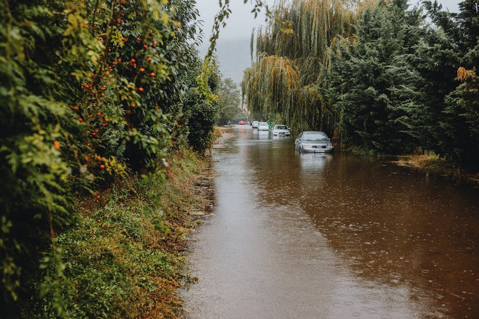
yahoo.comHowever, researchers emphasize the need for improved models to predict specific storm behaviors as climate impacts grow.Erin's path—forecast to avoid direct landfall but generate dangerous rip currents along the US East Coast and Atlantic Canada—highlights the indirect dangers of these storms.
Source:
cnn.comClimate change's role in intensifying hurricanes is well-documented.Warmer oceans provide more energy for storms, while a warmer atmosphere holds greater moisture, leading to heavier rainfall and stronger winds.
Source:
bbc.comStudies show maximum hurricane wind speeds increased by an average of 19 mph (30 km/h) between 2019–2023 due to human-driven ocean warming.
Source:
bbc.comThe IPCC notes "high confidence" that climate change has boosted precipitation linked to tropical cyclones, with "medium confidence" in intensified storm probabilities.
Source:
bbc.comErin's record-breaking early-season development—becoming the first Atlantic Category 5 hurricane of 2025—adds urgency to these findings.Only four other Category 5 storms have formed by mid-August historically, yet Erin's rapid growth from a tropical storm to a major hurricane in under 12 hours surpassed most records.
Source:
yaleclimateconnections.orgThis trend aligns with the National Hurricane Center's observation that peak storm activity now occurs later in the season than previously expected.
Source:
npr.orgAs Erin moves toward the open Atlantic, its potential for further intensification remains high.Sea surface temperatures along its path are projected to rise from 84°F to 86°F through Tuesday, while mid-level atmospheric humidity could increase by 15%, both factors that fuel storm growth.
Source:
yaleclimateconnections.orgWhile the storm's track currently avoids major landmasses, its expansive wind field threatens coastal regions with dangerous surf and rip currents for weeks.
Source:
yahoo.comThe broader implications of these trends are stark.Climate change is not just increasing storm intensity but also making rapid intensification more frequent, complicating forecasting and emergency preparedness.As global temperatures continue to rise, the combination of warmer waters and a moister atmosphere will likely lead to even more extreme weather events—making hurricanes like Erin harbingers of a changing climate landscape.